Algonquin Park: Camping Trip Logs: 011 - Meanest Link Part One
Trip Log: July 9 - July 24, 2011 Meanest Link Part One.
Day 8 |
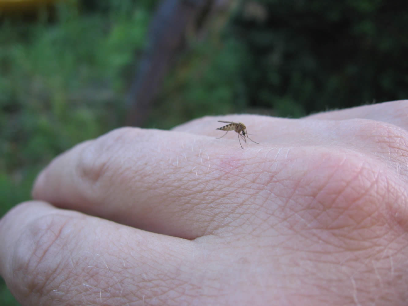
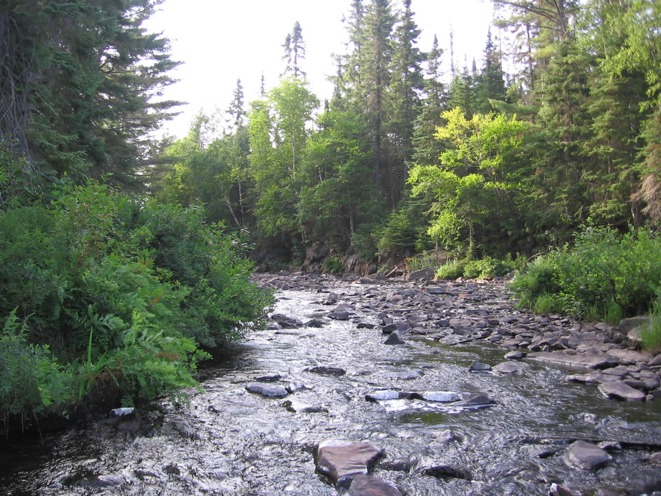
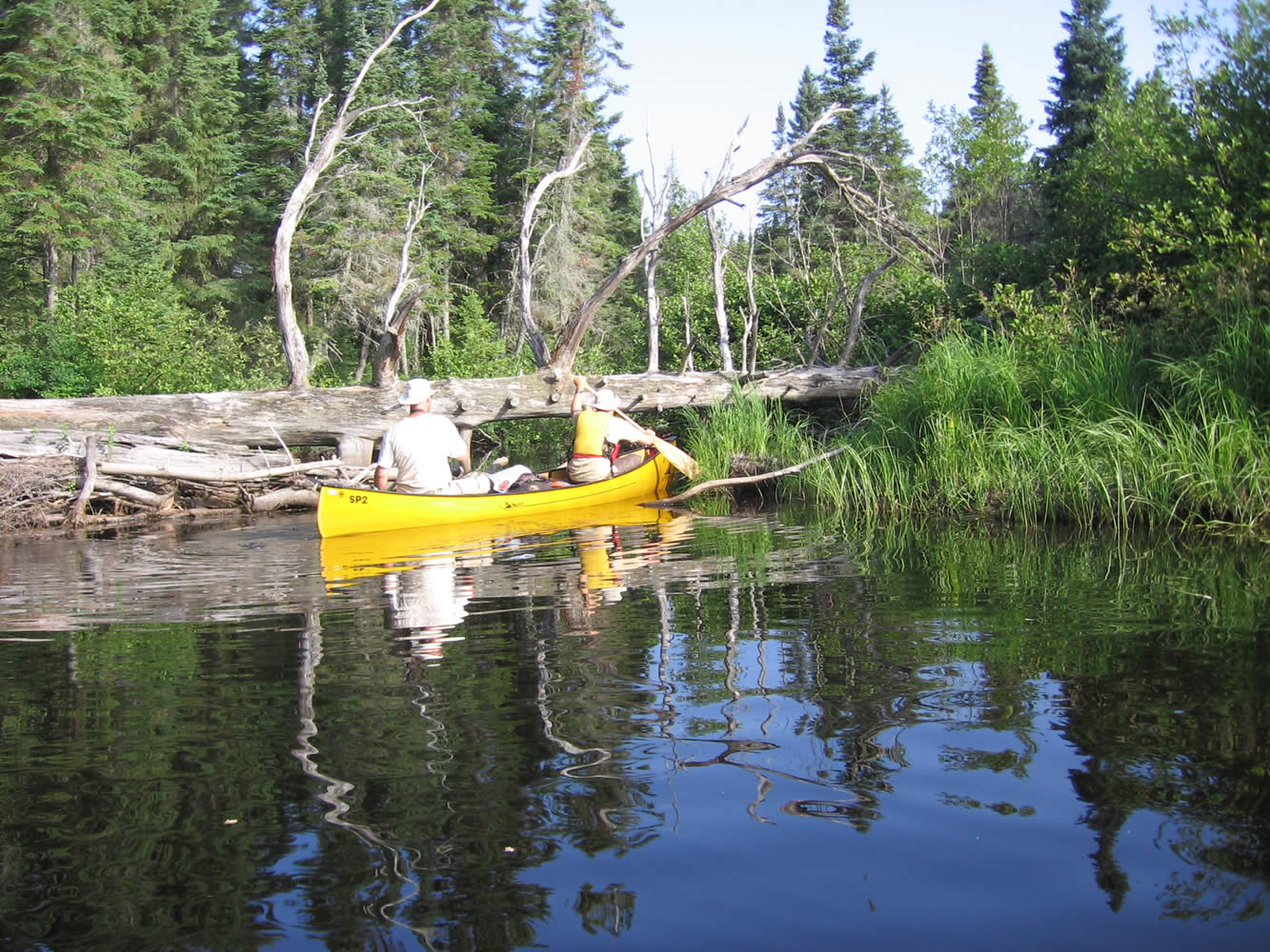
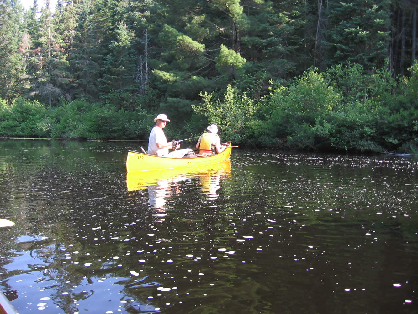
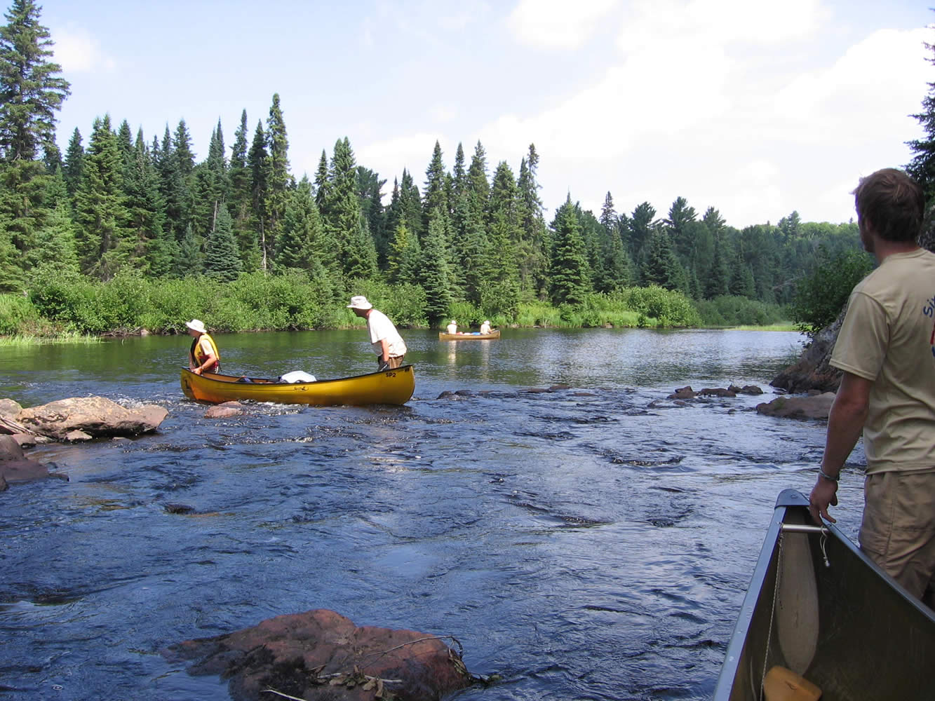
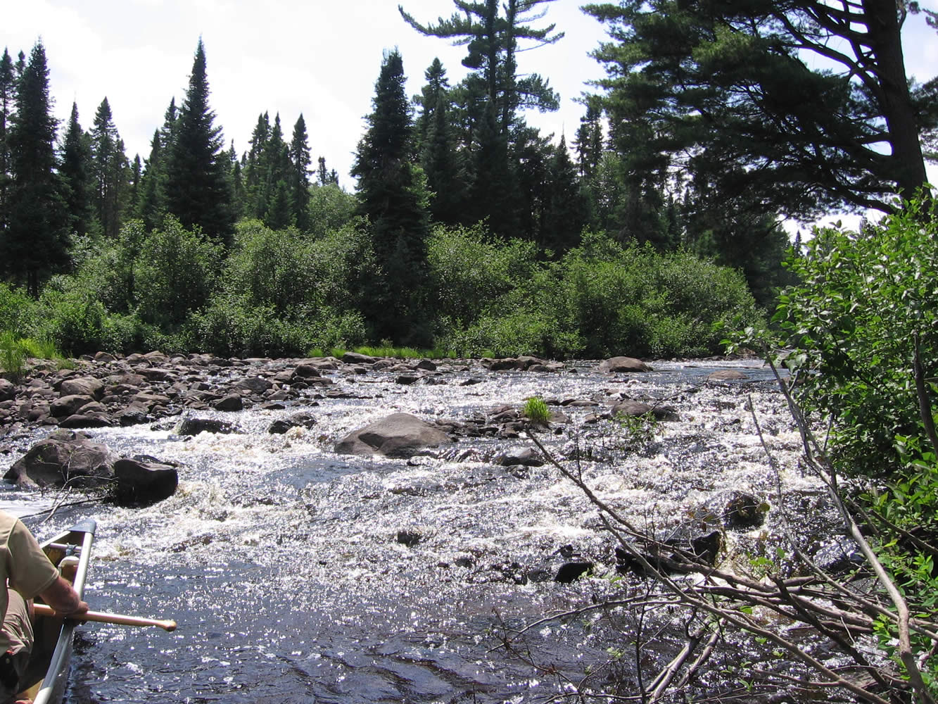
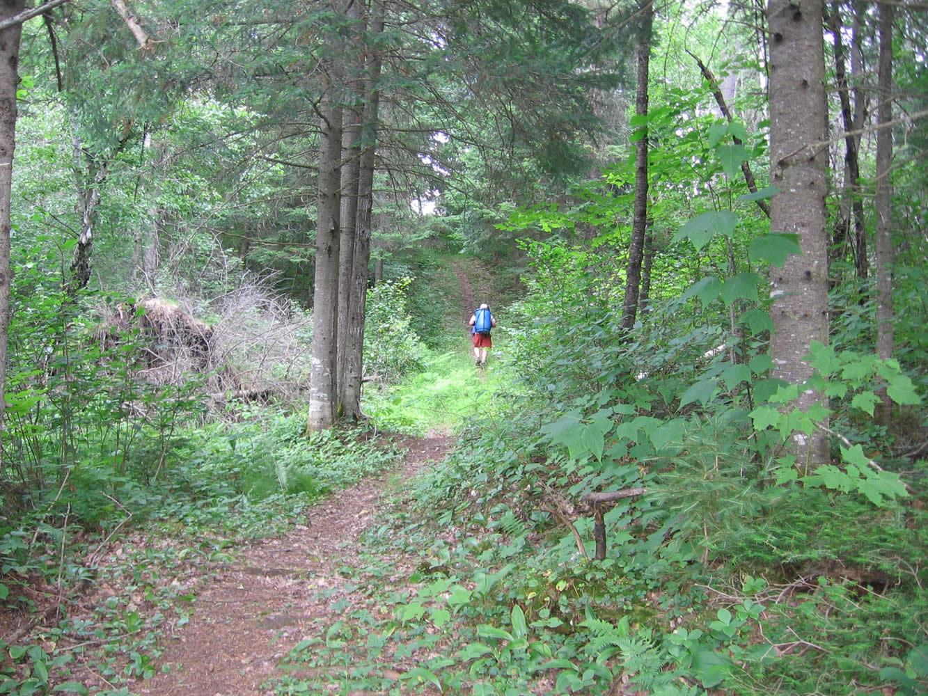
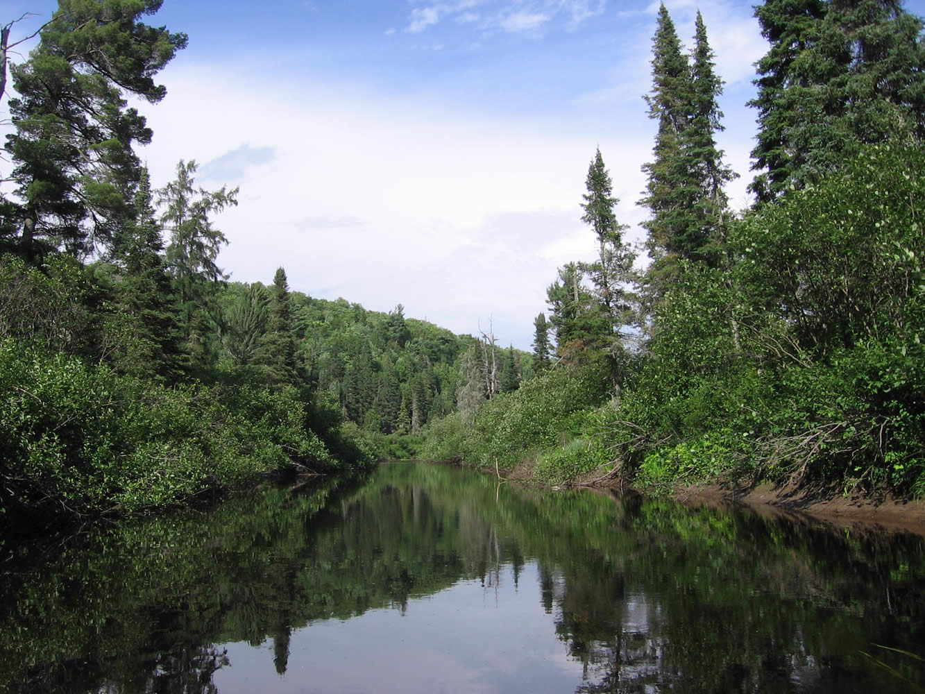
July 17, 2011 - High Dam to Graham's Dam Today we were up to the Coffee Refrain at 6 AM with the anticipation of a tough day on the Nipissing River. Fueled up with a bowl of oatmeal with toppings we were on the water at 8:15 AM. The day was still young but you could already feel the heat in it, and the mosquitoes were afoot. As we paddled the twisty river we listened to stories of previous trips in the area by the Brothers Scarlett. Again Jim and I saw a Red Tailed Hawk, this time one aborted a landing in a tree when it noticed our approach.
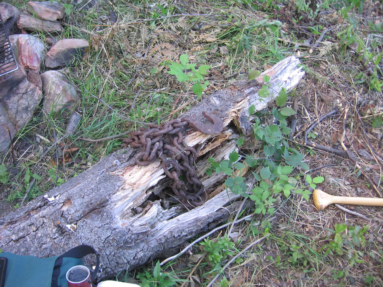
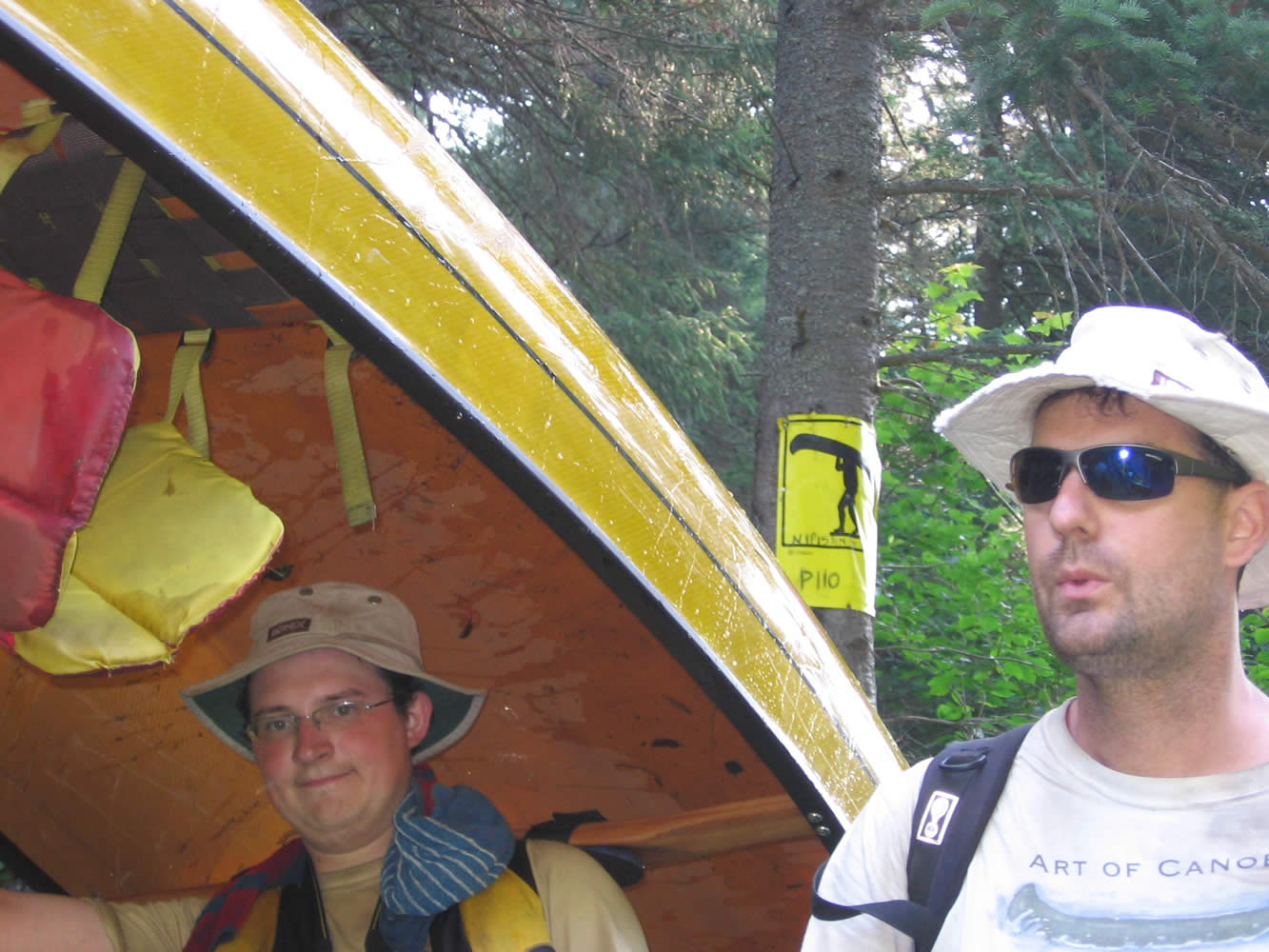
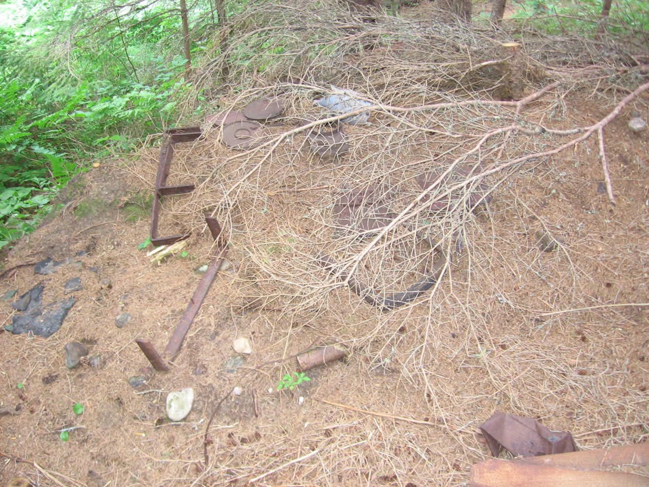
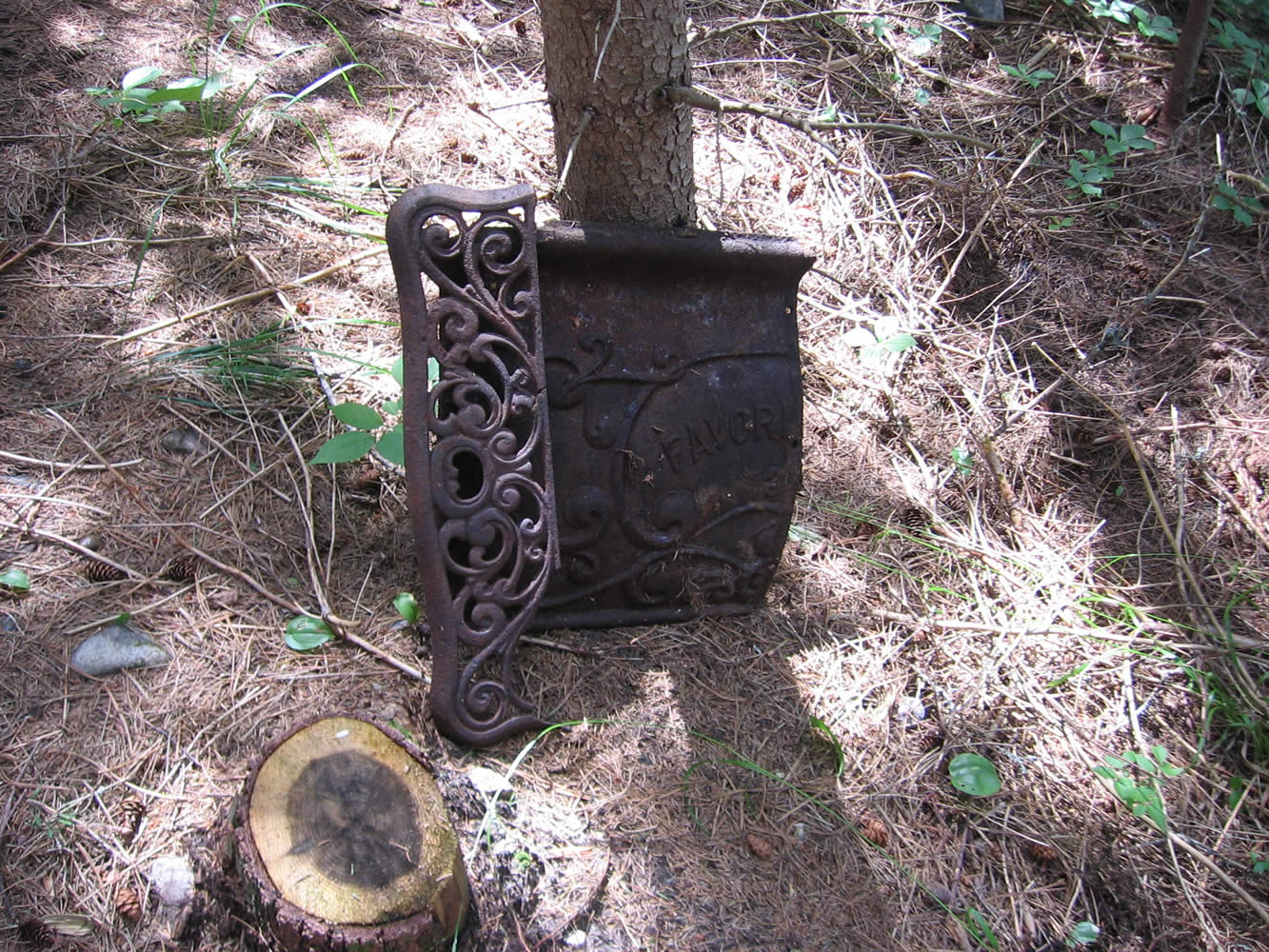
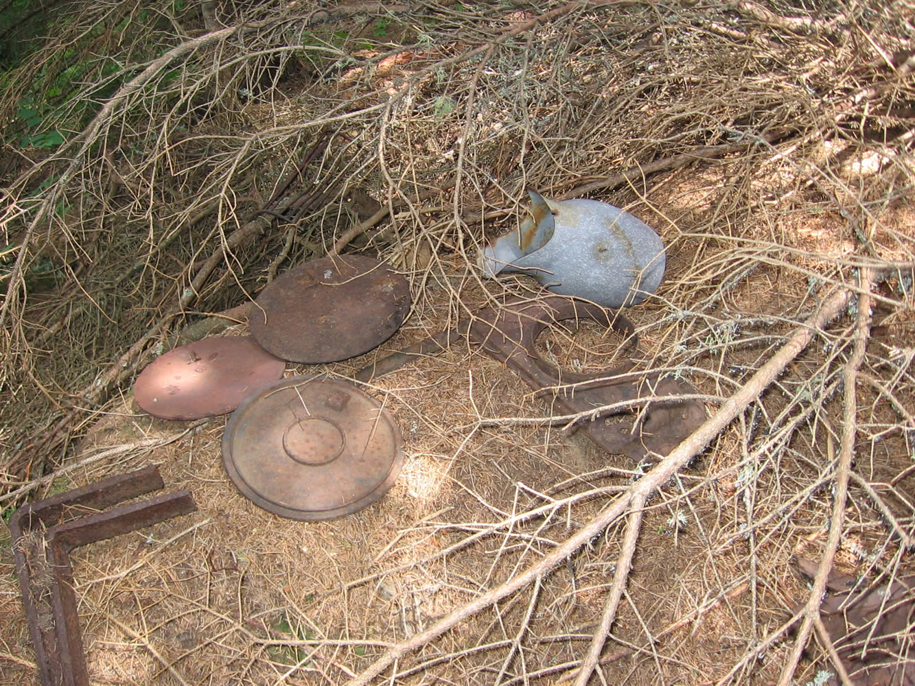
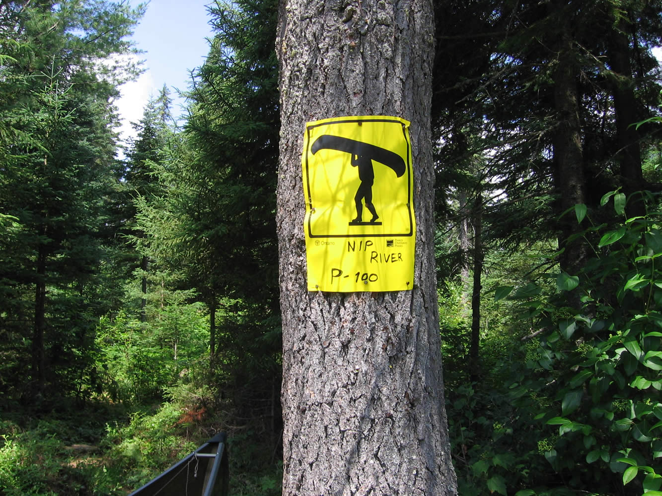
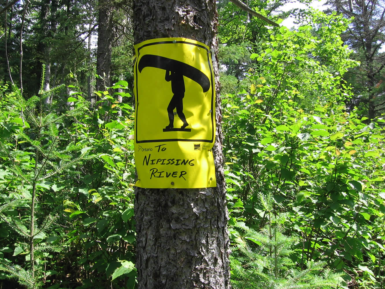
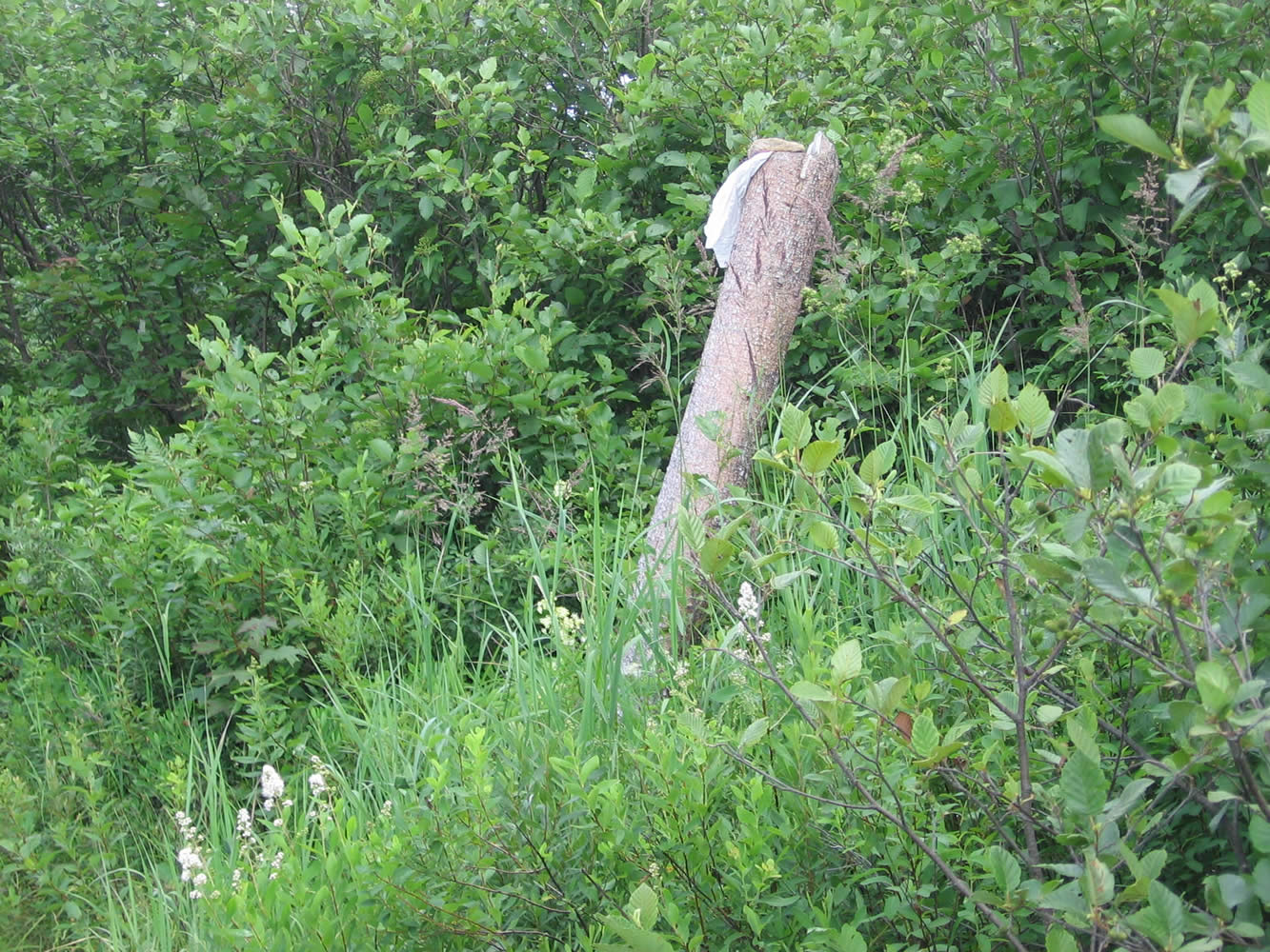
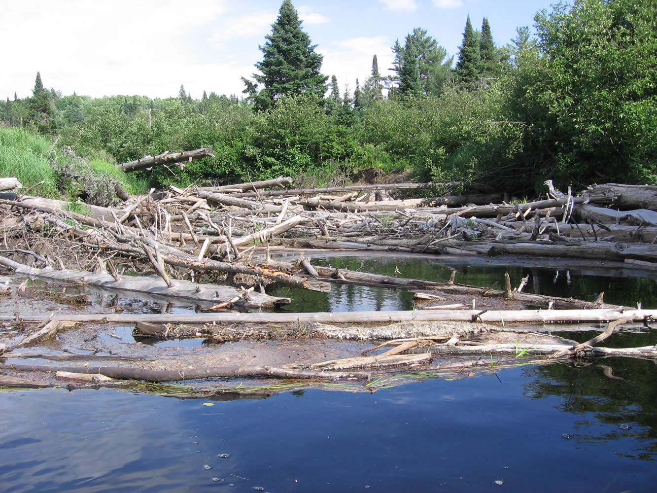
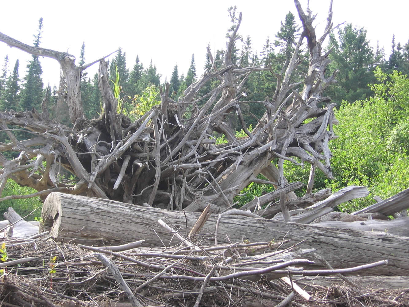
There continued to be a lot of obstacles in the river, around every oxbow we seemed to be hitting a beaver dam or downed tree. The portage signs even got creative at one point, just a rock holding a plastic bag on a tall stump.
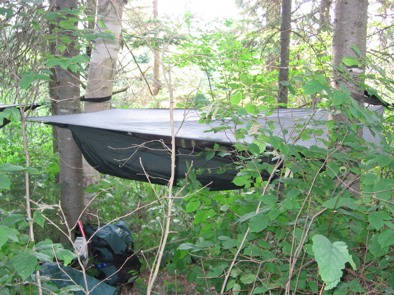
With the sky clouding over we felt we had earned a bit of rest around the camp fire. The relaxation didn’t last long as the mosquitoes came out in full force right on schedule at dusk. We also finished the last of the alcohol, it would be a dry trip until our next resupply. Just after getting settled into my hammock for the night the skies opened up and we had some thunder and lightning. Around 3 AM there was a pretty good storm going on, unfortunately it didn’t seem to bring any sort of breeze to help with the humidity and stickiness.
|


Algonquin Park: Camping Trip Logs: 011 - Meanest Link Part One
Trip Log 011
Access:
Algonquin Outfitters
Huntsville Store![]()
Overview:
A grueling 280 km trip that starts outside of Algonquin Park in Huntsville, travels up to the northern border at Cedar Lake before returning down the center to Lake Opeongo.
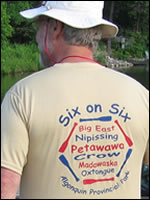
Six on Six, is the name we gave to our expedition as there were six guys traveling on six of the rivers in Algonquin.
As an added bonus, we re-established a portage between Hood Lake and McCraney Lake. This involved bushwhacking 1.4 km over a hill with packs and canoes. It's not likely many people will use this portage but I hope it gets maintained in some manner after our hard work.
history of the
Meanest Link